Hausdalshora, often reffered to as Mini Besseggen is a round trip that cover both Hausdalshorga and Austefjellet through Slettegga.
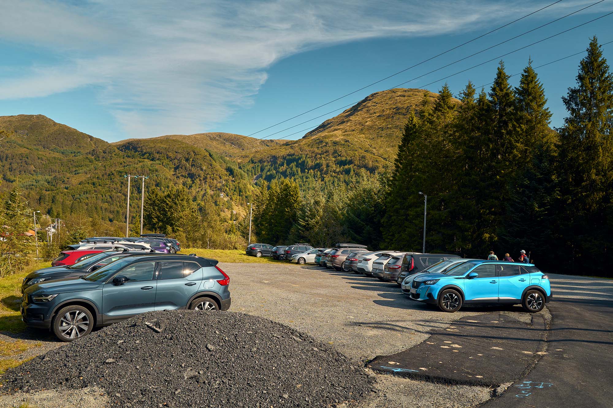
There is an fairly large allocated place for parking, as the area hosts several trails other than Hausdalshorga + Austefjellet, known as Mini Besseggen. On the map embedded you can see where to park.

To get the iconic picture of Mini Besseggen, and to avoid walking the same path twice, I would recommend taking the path on a dirt road to Rambjørgvatnet (lake), and take the first right as it cease, and a hiking trail in different directions replace it.


The trail of Mini Besseggen is quite easy to follow. The next step is to get on the Slettegga ridge, and follow it to Austefjellet- and then to the top of Hausdalshorga.

The first summit you encounter is Slettegga, which comes fairly quickly.

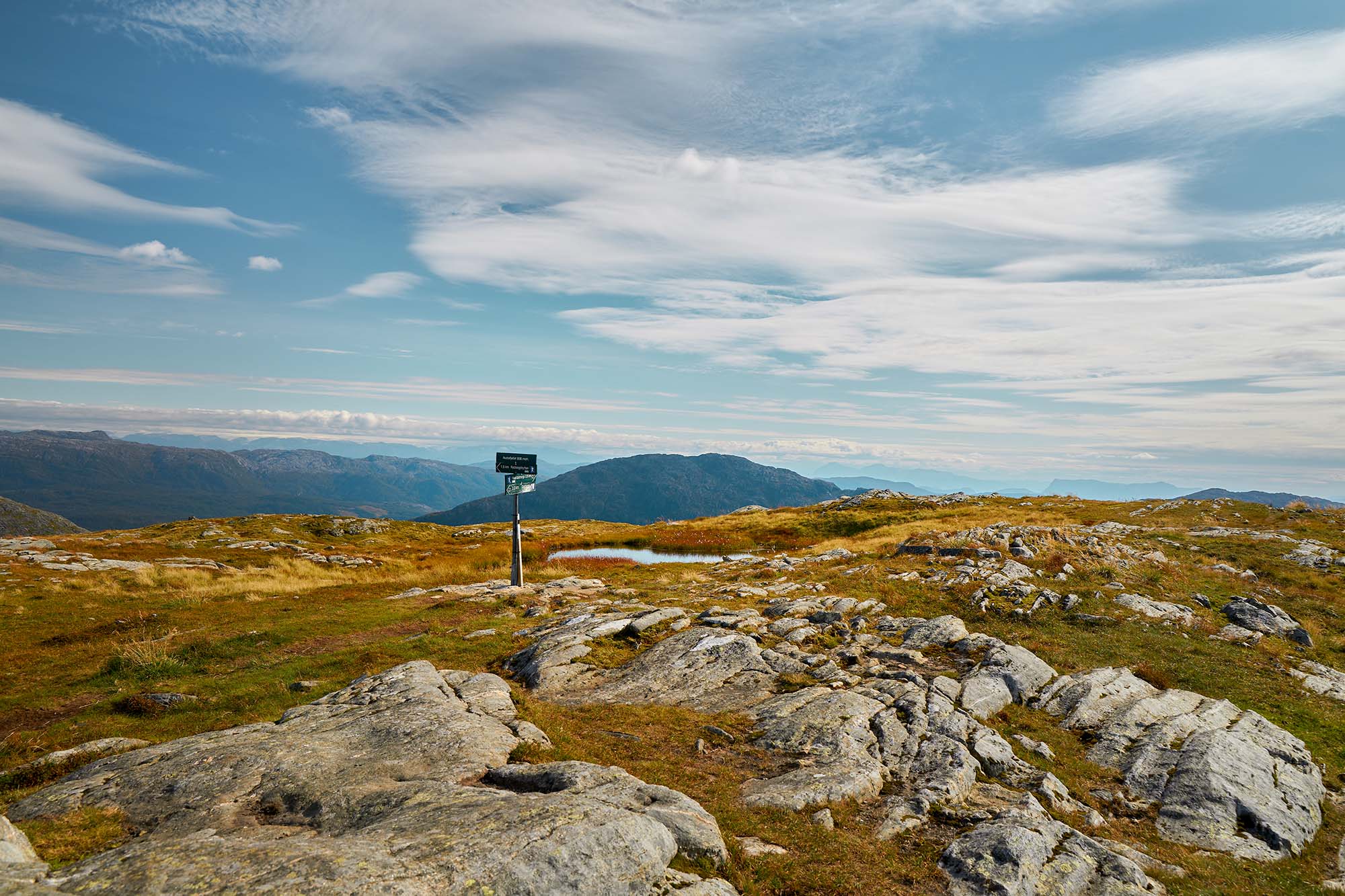
As the sign shows, the summit to Austefjellet is about 3km, and will round trip at the parking area where you started.
The terrain as you´re now at the ridge is fairly easy.
Continue the hike to Austefjellet by following the easy to spot "very large cairns". Since the entire hike is on a ridge around a crater, it´s going to feel that you´re hiking slightly off-course. As long as you don´t stray from the path and follow the markings you will be fine. Asking other hikers you encounter is encouraged for mountain safety protocol.

After some time, you get to the Austefjellet summit. Even thought it´s the highest peak throughout the hike, it´s vista is not that much of an interest. The main reward of a vista is the "egg" shape of Hausdalshorga seen from the path you currently are trekking.


When hiking down from the last summit (Hausdalshorga), there is a downstream bridge to cross from lake Dyrdalsvatnet. Zooming in on the map from Kartverket, you can turn immediately left. However, I would recommend continuing forward, crossing Hovden, and taking the trail to Bjørnastølen.
There are two reasons why I recommended that. The cabins at Bjørnastølen makes excellent photos with a nice backdrop- and second, you will walk downstream instead of upstream to the parking lot.
When committed to the recommended path of return, it´s going to feel that you´re hiking a bit inward to the crater and the start- which you are.

There are two reasons why I recommended that. The cabins at Bjørnastølen makes excellent photos with a nice backdrop- and second, you will walk downstream instead of upstream to the parking lot.

Soon after the cabins you end up on the same road you started on.
The rich text element allows you to create and format headings, paragraphs, blockquotes, images, and video all in one place instead of having to add and format them individually. Just double-click and easily create content.

A rich text element can be used with static or dynamic content. For static content, just drop it into any page and begin editing. For dynamic content, add a rich text field to any collection and then connect a rich text element to that field in the settings panel. Voila!
Headings, paragraphs, blockquotes, figures, images, and figure captions can all be styled after a class is added to the rich text element using the "When inside of" nested selector system.